Case Study 3: NOAA post-hurricane reconnaissance aerial imagery
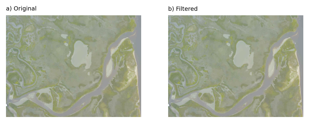
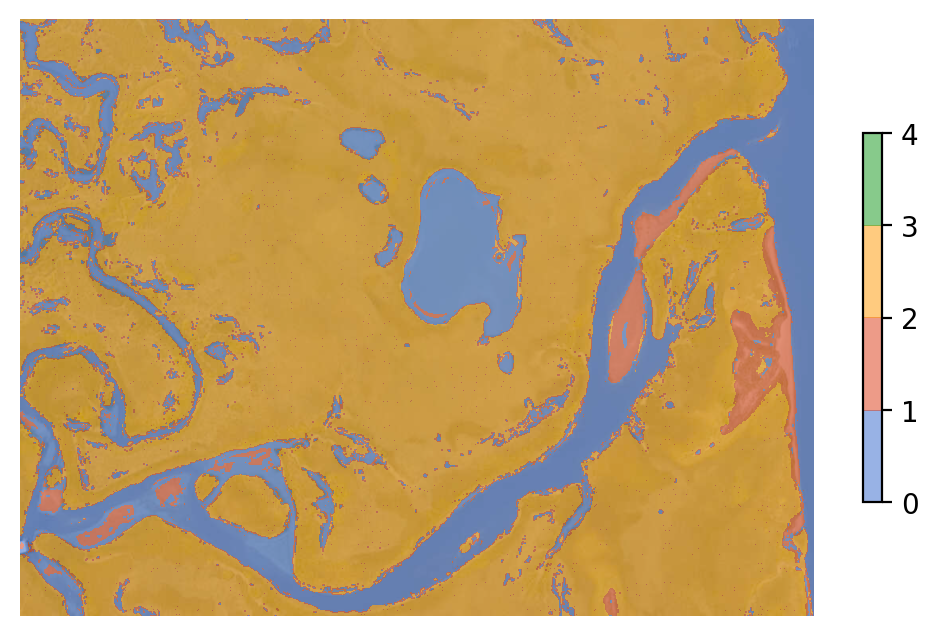
This is Emergency Response Imagery collected by the National Geodetic Survey Remote Sensing Division of the US National Oceanographic and Atmospheric Administration (NOAA; https://storms.ngs.noaa.gov). Such imagery helps coastal scientists study impacts of hurricanes and other storms on coastal communities, landforms and ecosystems (see, for example, Goldstein et al. 2020 and Lazarus et al. 2021). The imagery depicts a mixture of open sandy coasts, marshes, and bay/estuarine environments, with various degrees of development. The classes we use below are water (blue), sand (red), marsh (yellow), and development (green).
Example 1#
Image and standardized image
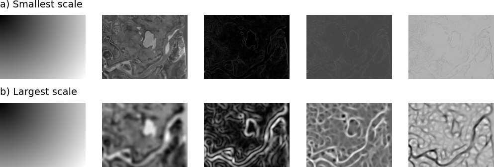
Extracted features
Doodles

CRF TTA

Looks bad:
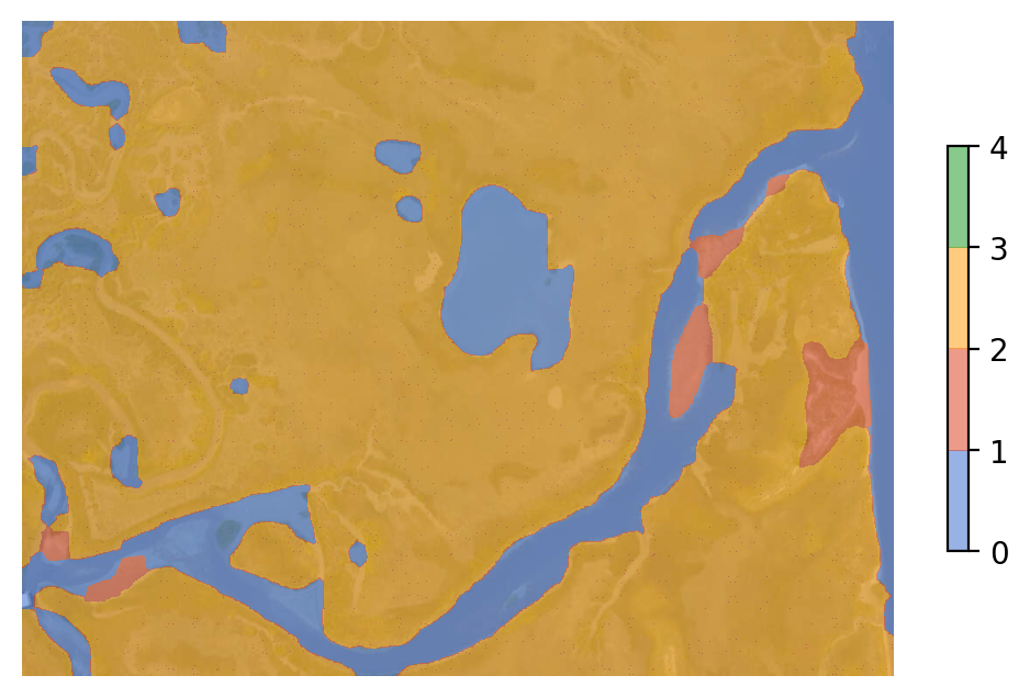
What went wrong?

RF spatial filter better
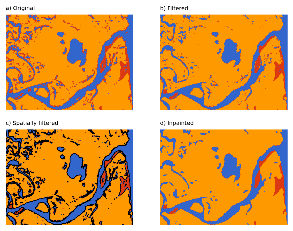
RF label image better
Example 2#
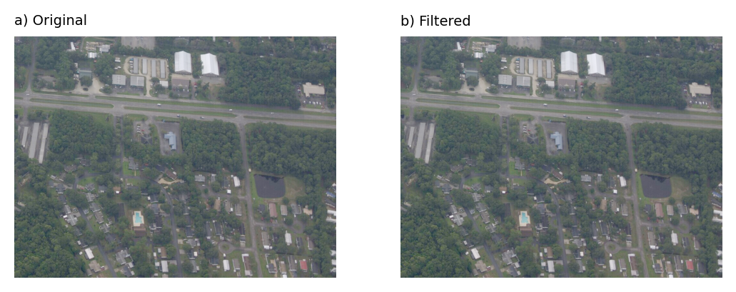
Image and standardized image
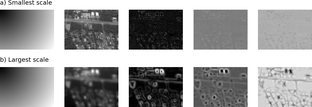
Extracted features
Doodles

CRF TTA

CRF spatial filter:
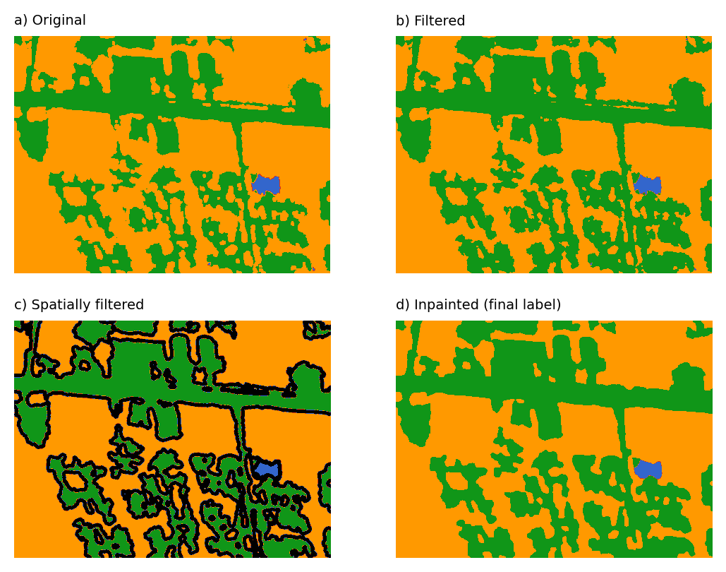
Looks ok:
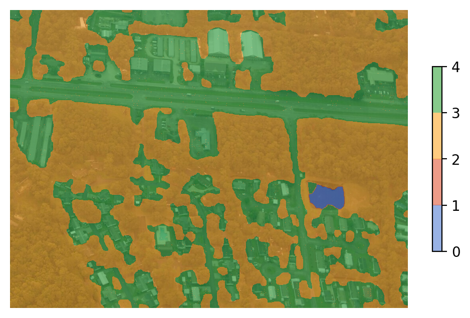
RF label image worse
